Drs. Charlotte Taelman
Terrestrial Ecology Unit
Department of Biology
Ghent University
K.L. Ledeganckstraat 35
9000 Gent Belgium
E-mail: charlotte.taelman@ugent.be
The interaction between coastal vegetation and dune development, resistance and resilience
Coastal dunes are ecosystems that provide a multitude of ecosystem services to mankind, such as the primary defense against storms and rising sea levels, recreation, the harboring of a large diversity of often threatened species, and freshwater provisioning. However, coastal dunes worldwide are facing threats that endanger their existence, and therefore jeopardize the benefits they provide. Anthropogenic influences such as beach cleaning, the removal of dunes to make place for large apartment blocks with “sea view”, or hard coastal infrastructure like dikes, all interfere with the natural dynamics of dunes and disturb their functioning. The conservation and restoration of dunes is therefore a high priority for coastal regions worldwide. Fortunately, there has been a rising attention towards the integration of dunes as nature based solutions in coastal defense.
Understanding how dunes develop as a function of the vegetation, can be translated into the proper management measures, where dunes can be built from scratch using the dune building capacity of coastal vegetation. This requires a thorough understanding of the plant-sand dynamics.
My PhD will focus on the dynamics of coastal vegetation and their role in dune development at several stages of dune succession on the Belgian coast. They are summarized below:
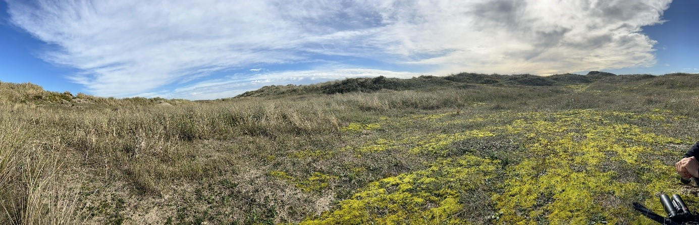
- The strandline, situated just above the high tide line. When given the chance to develop, they form shadow dunes which are small dunes most exposed to the sea. There is however very little ecological understanding of these communities. This will be tackled by conducting spatio-temporal pattern analysis of these communities on the beach, and how they contribute to the formation of exposed dunes by monitoring sand capturing efficiency through remote sensing.
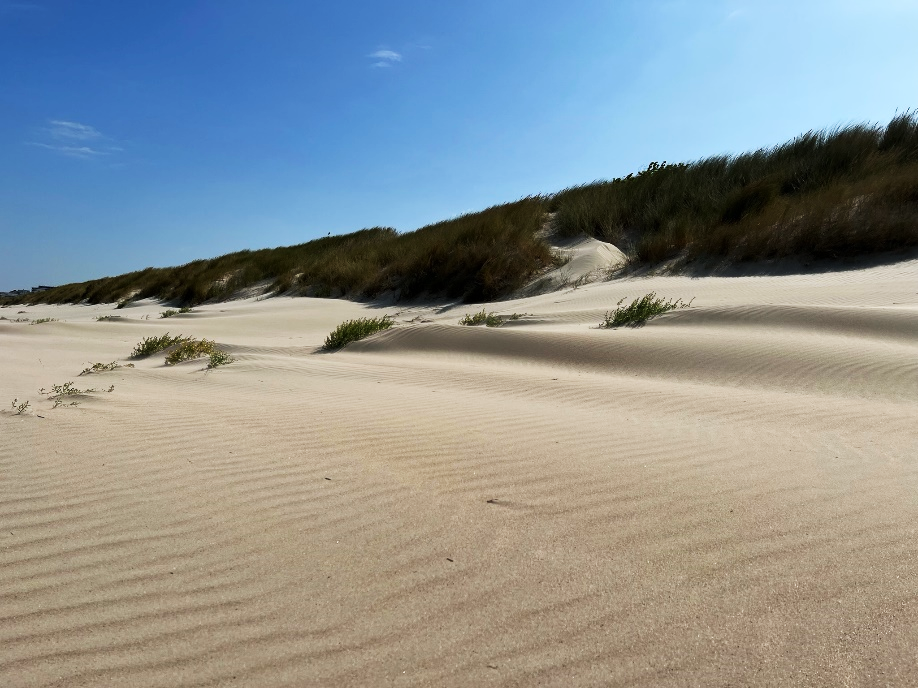
- The foredunes, which are dominated by the ecosystem engineer marram grass (C. arenaria).
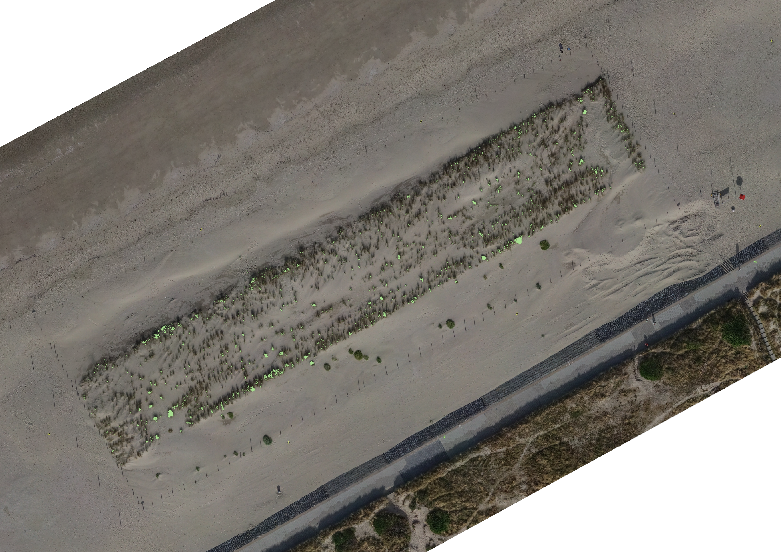
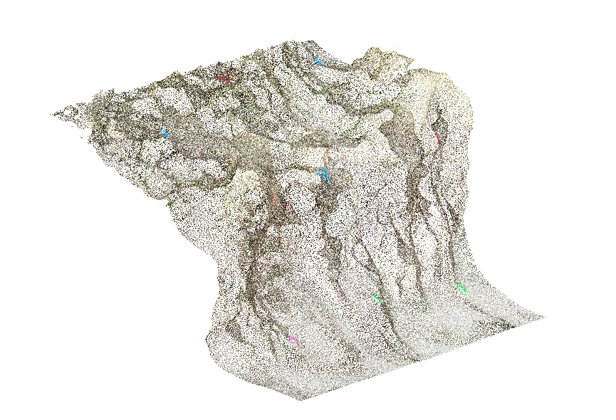
- As these foredunes form the first line in coastal defense against storms, our first aim is to understand how the vegetation cover of foredune cliffs contribute to the resistance and resilience of these dunes. This project is conducted through remote sensing, i.e. LIDAR scanning of dune profiles.
- Second, we want to model dune development as a function of the spatial configuration of marram grass. This is done through LIDAR imaging and GIS.